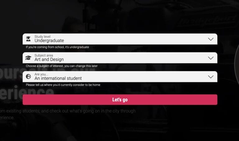
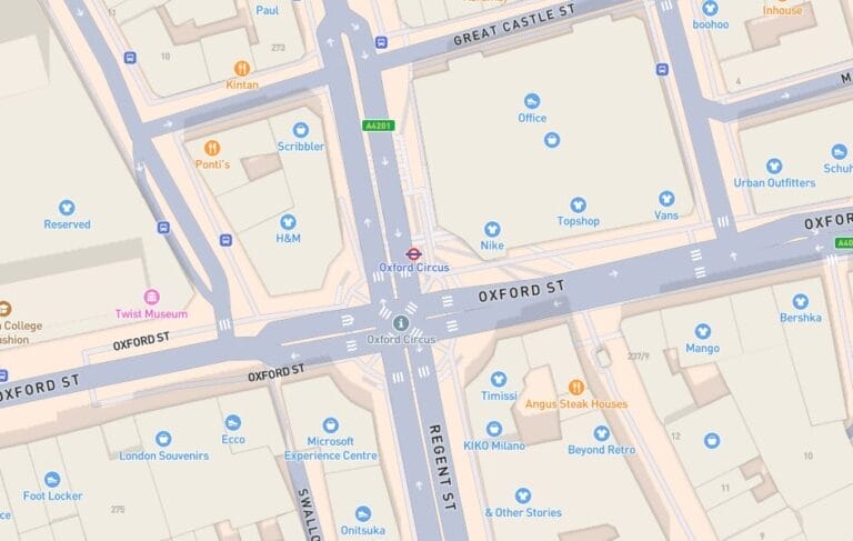
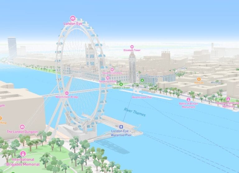
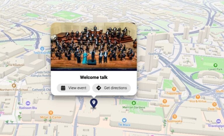
Explore by Map
Explore by Map customers see these results:
When a visitor to the platform interacts with Explore by Map, they view 68% more pages of content in the experience overall.
Visitors to the platform who choose to Explore by Map spend an average of 4 minutes and 25 seconds browsing content and informing their choices.
63% of students said that being able to browse personalised content through an interactive map made the university seem more ‘exciting’.
Above statistics based on 90 days of data from 24 university experiences.
Key features
Map Personalisation
University campuses are vast, and traditional maps are often cluttered with irrelevant details. Vepple’s personalised maps cut through the noise, showing only the spaces that matter to each prospective student, based on their interests.
Directions and Wayfinding
Navigating large campuses is simple with Vepple. Offering personalised routes for walking, cycling, or driving, it helps students explore with ease—whether planning ahead or navigating in real time. Vepple makes it effortless to understand how key spaces connect, making it much easier for students to find their way around.
Location Categorisation
Simplify map navigation with grouped, visually organised pins. Universities can categorise locations—such as accommodation, teaching spaces, or social hubs—using custom icons and colour coding, giving students clear visual context and making it easy to find what matters most.
Points of Interest
The student experience goes beyond the lecture theatre. Highlight nearby bars, restaurants, shops, transport links, and leisure facilities to help future students imagine their life on and around campus. With active management, these points update automatically, ensuring information is always current and relevant.
2D/3D Mapping
Bring your campus to life with immersive 3D visualisations of buildings, parks, and landmarks, complemented by detailed 2D views. With automatically updated layers, your maps stay current as new buildings and features are added. A sleek and intuitive interface ensures prospective students enjoy an accurate and engaging experience.
Event Support
For customers using our Events System, in-person events can be seamlessly integrated into the personalised map. Highlight event locations and serve relevant content alongside relevant events, ensuring attendees have all the information they need in one place.
100,000+ future students have a better sense of space and place thanks to Vepple
The Explore by Map module is designed to be easy to use, but we're here when you need us, too.
Hit the ground running with our tailored KickStart training sessions, empowering you to unlock the full potential of Vepple from day one.
Get instant answers anytime with our comprehensive knowledgebase, designed to help you make the most of Vepple whenever you need guidance.
Need extra assistance? Our expert support team is here to help, with ticketed support available Monday to Friday, 9 AM to 5 PM.
Frequently Asked Questions
Can students personalise what they see on the map?
Yes, students can use personalised content filters to display the most relevant locations based on their preferences. Under Core this will be based on Subject Area only whereas for universities with Audience Personalisation it could be anything from layering in study level through to offering a map specifically for open days.
What types of facilities and points of interest are shown on the map?
The map includes relevant campus facilities as populated by the university, as well as local points of interest like public transport stops, cafes and restaurants, nearby shops, and green spaces. These local points of interest are automatically updated by MapBox with data based on continuously-maintained POI datasets.
How is the Explore by Map module kept up-to-date?
Universities are responsible for layering their own content onto the map and tagging it to enable our personalisation engine to serve relevant content to students based on their interests. However, the underlying mapping layer and the Points of Interest (POI) database are actively maintained using open-source information. This ensures that the map remains accurate and up-to-date, even as campuses evolve and new buildings or facilities are added, avoiding the challenges associated with traditional, static maps.
We already have a campus map, why do I need this?
Most university maps are published as a PDF. Students cannot personalise, contextualise or interact with PDF maps leaving them lost and confused. They’re also generally not accessible. Vepple’s Explore by Map module helps future students to navigate the spaces they care about, easily.
Can the map display route directions between locations?
Yes, the Explore by Map module can provide step-by-step walking, cycling or driving directions to guide students from one point to another on campus.
Does the Explore by Map module include live GPS tracking?
Yes, the module includes GPS-enabled location tracking, allowing students to see their current position on campus and navigate nearby points of interest in real-time.
Is the map available on mobile devices?
Yes, the Explore by Map module is fully responsive and works across desktops, tablets, and mobile devices for convenient access on the go.
Can students search for specific locations on the map?
Yes, the module includes a search feature that allows students to quickly find specific facilities or points of interest.
Can the map highlight event-specific locations?
Yes, universities can update the map to showcase event locations where the accompanying Events module is active.
I'd like to help students find their way around at an open day and navigate from a Welcome Desk to a live talk taking place in a lecture theatre. Can I?
Yes! For universities with both the Explore by Map and Events System modules, you can pin live talk locations to the map, improving wayfinding and making sure students see everything they need to at an open day.