
Vepple Core
Vepple Core is where it all starts: the power behind every immersive virtual experience. By blending intelligent personalisation, Guided Tours, and authentic student voices, it turns exploration into something memorable. With accessibility and responsiveness built in, Core is essential for bringing your university to life.
Vepple Core customers see these results:

Vepple experiences boast higher engagement times per session compared to average university websites*
*Vepple data vs university GA4 data on prospective student pages

Connect with your audience, no matter where they are. Vepple sites attract visitors from over 200 countries every year.*
*Vepple data
70% of students* said a Vepple powered experience would make them more likely to apply to an Open Day
*TSR Insights
Key features
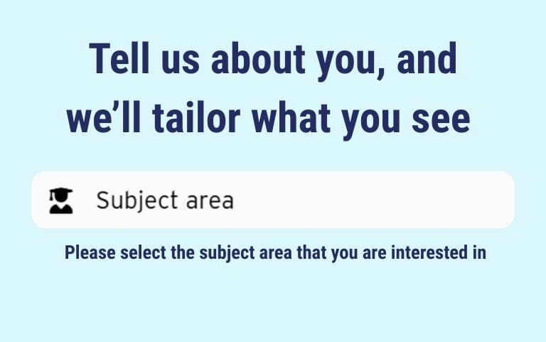
Subject Personalisation
Why show a future Chemistry student the Drama Studio? Don’t waste their time with irrelevant content and show them only the things they care about. Cut out the noise and highlight what really connects.

Content Viewer
Bring your campus to life with a mix of video, 360° tours, galleries, and social content – all in one seamless viewer. Students get an immersive, media-rich experience that works on any device, making it easier than ever for them to explore.
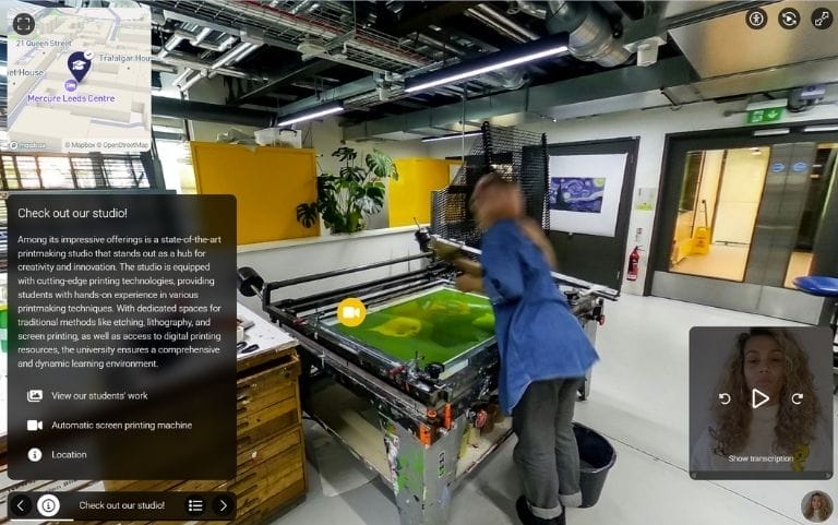
Guided Tours
Turn exploration into a story with Guided Tours that lead students through your campus step by step. Combine panoramas, maps, and captions to build structured yet immersive journeys, that actually help make informed decisions.
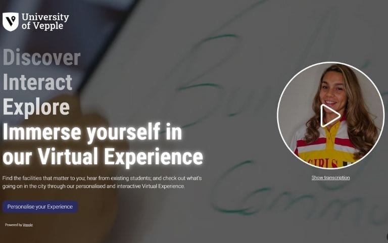
Ambassador-Led Content
Build trust, spark belonging and helps prospective students imagine life on campus through the eyes of those already living it. With video and audio from real ambassadors, prospects get authentic voices and honest stories woven into their journey.
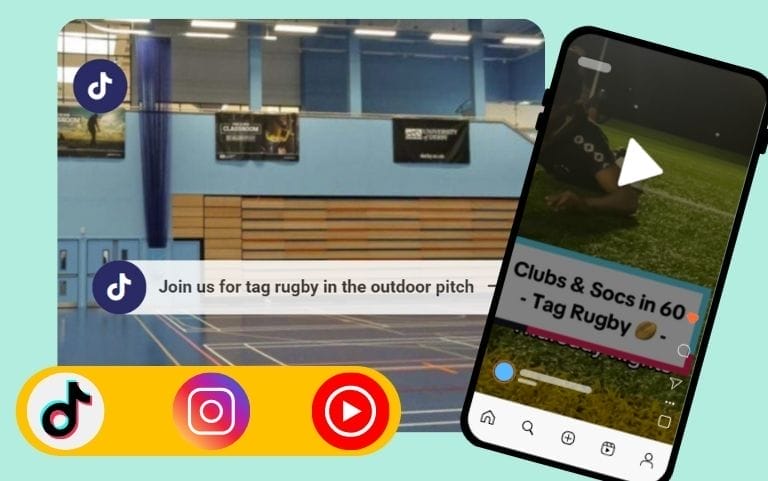
Social Media Integrations
Get more reach and mileage from social media content. Embed YouTube, TikTok, and Instagram directly into Vepple to showcase authentic student life, fill gaps without extra effort, and keep the experience fresh with updates that are quick and easy to make.
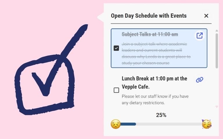
To-Do Lists
Support conversion with personalised checklists that gamify the student journey. From booking open days to starting applications, ticking off tasks feels engaging for prospects and delivers meaningful action for universities.
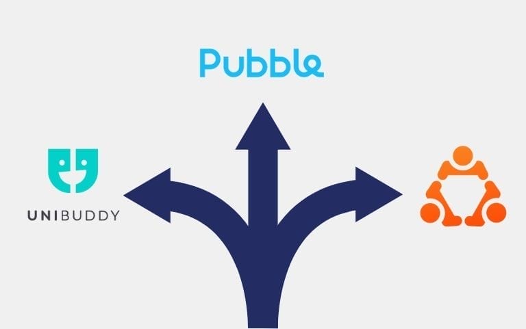
Chat Integrations
Make the most of platforms you already invest in. Integrate with UniBuddy, The Ambassador Platform or Pubble to bring live conversations into the experience. Existing tools work harder and engagement becomes seamless.

Flexible Branding
Vepple can be made to look and feel like your university, so every interaction reinforces your brand. The familiar experience builds trust and leaves students with lasting positive associations. Everything is fully customisable: colours, logos, fonts and the interface.

Responsive and Accessible
Vepple Core is built for everyone. Meeting WCAG 2.2 AA standards when populated correctly, it ensures your virtual experience is fully accessible and inclusive, while working seamlessly across mobile, tablet, laptop and large screens.
Vepple is easy to use, but if you need us, we're here:
Onboarding Support
Hit the ground running with our tailored KickStart training sessions, empowering you to unlock the full potential of Vepple from day one.
24/7 Knowledgebase
Get instant answers anytime with our comprehensive knowledgebase, designed to help you make the most of Vepple whenever you need guidance.
Ticketed Support
Need extra assistance? Our expert support team is here to help, with ticketed support available Monday to Friday, 9 AM to 5 PM.
Vepple has helped over a million students picture themselves at these universities…


Hear what our customers have to say:


Vepple Core: Your Questions Answered
Can't I just deliver a virtual experience through my main university website?
You can give it a go! But here’s why most universities don’t. We have years of expertise in building engaging digital experiences, and Vepple is our sole focus, day in and day out. Vepple is actively maintained and constantly improved using research, data, and feedback from both universities and students. Working with us, you get not only a managed, and future-proofed solution, but you also benefit from the vast aggregate data we have access to, giving you benchmarking data to help you hit your goals.
Why do I even need this? Surely my website does the same job?
Hmm. Maybe. It depends.
Does your website personalise content based on subject preferences and include dynamic story-telling from a student’s perspective?
Does your website boast an average session duration of 6m52s and an average of 12.13 pages per session?
The thing is, Vepple makes getting results like this easy. Your students expect personalisation and storytelling, and they deserve to be able to navigate across lots of meaningful information points easily. Ultimately, Vepple works. Our TSR Insights research showed 70% of students said a Vepple powered experience would make them more likely to apply to an Open Day.
Is Vepple easy to update?
Yes! Our CMS is very user-friendly. We mostly work with marketing teams, some of whom have limited prior CMS experience, and customers often say how enjoyable it is to work on Vepple.
There’s definitely no need for developer-level skills. Your Customer Success Manager will make sure you’ve got all you need to make updates quickly and easily. We also have a 24/7 Knowledgebase and ticketed support systems in place, so you’re never alone.
Do we need specialist staff to manage the platform?
Nope! Managing Vepple is simple and requires no specialist training. Universities that dedicate a team, or even a few passionate individuals alongside their other responsibilities, see the biggest impact and get the most value from the platform.
Can Vepple Core be integrated with other platforms?
We integrate with Unibuddy, The Ambassador Platform and many more for peer-to-peer chat and we also have an integration with IDP Education across their WhatUni profiles. These all come with Vepple Core at no extra cost. For customers who have Core and our Lead Capture module, you can also integrate with CRMs via our API or Zapier connector.
How long does it take to launch?
The average time to go live with KickStart, an optional Bolt-on that fast-tracks onboarding, is just 21 days*. Some universities have launched in as little as two weeks, and even those going it alone have been live within weeks.
There’s no waiting around. Click ‘go live’ and you’re in control, without needing developers to handle anything on the back-end.
*Based on the number of working days taken by the 3 fastest university launches after day 2 of KickStart.
Is Vepple secure?
We take security seriously. We’re Cyber Essentials accredited and we keep data secure by using robust encryption methods. We conduct regular security audits and follow industry-standard cybersecurity practices, such as multi factor authentication and routine penetration testing. Get in touch if you have specific queries, we’ll be happy to help.
Can Vepple Core help me to recruit international students?
Absolutely! An average of 40% of traffic to Vepple platforms is from an international audience, engaging with prospects from over 200 countries across the world. We have even been working with international agents to support in-country recruitment too, so if this is something you think your international team would like to chat about, get in touch.
Can we track student engagement?
Yes, our dashboards give you insight into a complete performance overview. You can see user engagement, sessions, country information, sources and, much more! Competitor benchmarking is built-in, so you can compare performance with like-for-like institutions. If you buy the Lead Capture module we can also integrate with CRMs to help you track the ROI of Vepple and see just how essential the platform is for student recruitment.
We have lots of 360 panoramas already, can we use what we have?
Sure! 360 panoramas in Vepple should be in an equirectangular format, jpg, with a 2:1 aspect ratio and a minimum resolution of 6000px x 3000px. If the quality of what you have isn’t entirely up to scratch, we have services to capture new ones, or we can try to enhance your existing ones.
Can I use Vepple Core to capture student data and leads?
No. Our Lead Capture module is separate, so if you want Vepple as part of your lead gen strategy, you’ll need that extra module.